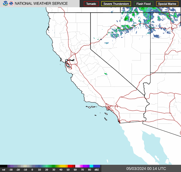
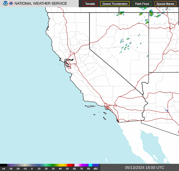
Pacific Southwest Regional Radar (PACSOUTHWEST)
permalink: www.radarmonster.com/regions/pacsouthwest/
Current time: 00:57:42 UTC
last refresh: 0 seconds ago
Radar out of date?
(~5-10 minute delays are pretty common)
source: radar.weather.gov/ridge/standard/PACSOUTHWEST_loop.gif
animated gif / manual loop controls
more info on animated gif/manual controls
The National Weather Service produces both a single animated gif file, and separate images for each individual period of time.
You can use the animated GIF that the NWS produces, but you won't be able to pause or choose the speed of the loop.
Or you can switch to manual looping controls so that you can pause, go forwards/backwards, and soon, you'll even be able to set the loop speed.
The Pacific Southwest region radar loop is produced by combining imagery from multiple individual radar sites into one single regional radar loop via the Multi-Radar/Multi-Sensor System (MRMS).