Regional overview
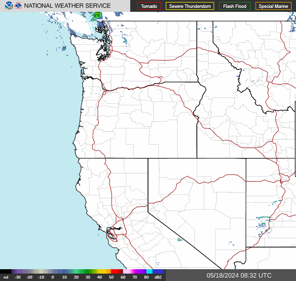
Pacific Northwest Weather Radar
Washington and Oregon, with much of Idaho and parts of northern California, Nevada and western Montana.
Loading radar imagery…
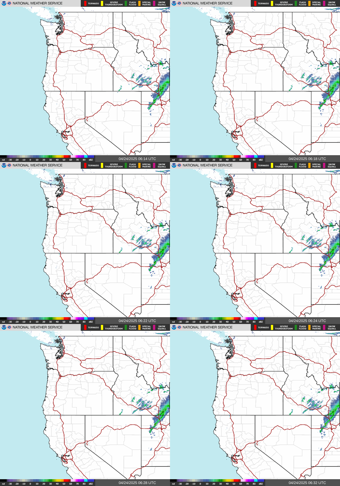
Left/right arrow keys: older/newer, unless you are using another control. Playback uses all 10 NWS images, 300 ms per frame plus a 1.5 s pause on the newest.
Loading radar imagery…
Check the timestamp printed on the image. Radar images can be 5–10 minutes behind current conditions. Refresh-request age is not observation age. Images are refreshed only when you request it.
Source image: https://radar.weather.gov/ridge/standard/PACNORTHWEST_loop.gif
The radar image is unavailable. Try refreshing or choose another radar.
Explore individual radar sites
Browse the stations in these states and territories for a closer view. These navigation links do not define the exact boundary of the regional image.
Compare other regions →Reading the radar
Check the timestamp printed on the image. A regional view helps you follow the bigger picture; an individual radar gives you a closer look. Their timing and coverage can differ.
Radar imagery comes from the National Weather Service. Use local forecasts and warnings alongside the radar.