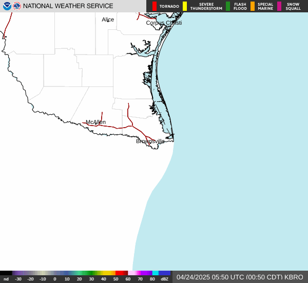
BROWNSVILLE, TX (KBRO) Radar
permalink: www.radarmonster.com/radars/kbro/
Current time: 08:20:35 UTC
last refresh: 0 seconds ago
Radar out of date?
(~5-10 minute delays are pretty common)
animated gif / manual loop controls
more info on animated gif/manual controls
The National Weather Service produces both a single animated gif file, and separate images for each individual period of time.
You can use the animated GIF that the NWS produces, but you won't be able to pause or choose the speed of the loop.
Or you can switch to manual looping controls so that you can pause, go forwards/backwards, and soon, you'll even be able to set the loop speed.
Weather Underground weather radar loop for KBRO
Alternately, you can view the Wunderground radar loop here, which may be more up to date than the National Weather Service imagery above.
Nearby Radars to KBRO
There are two maps temporarily while we test performance. Top is Maplibre, bottom is Leaflet.
MapLibre
Leaflet
there's a bug for now where the radar site itself shows in the following list
- BROWNSVILLE, TX - 0 miles away
- CORPUS CHRISTI, TX - 129 miles away
About KBRO
KBRO is the ICAO code for the nexrad doppler radar located in BROWNSVILLE, TX.
The radar's precise location is latitude 25.916, longitude -97.418967, at an elevation of 88 feet.
The BROWNSVILLE radar is located in CAMERON County, TX.
Identification codes for KBRO
ICAO: KBRO
NCDCID: 30001814
WBAN: 12919