Local radar
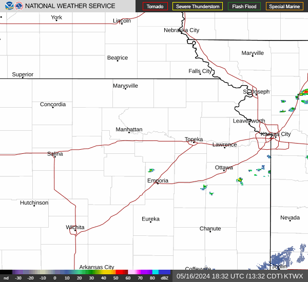
Topeka, KS (KTWX) Radar
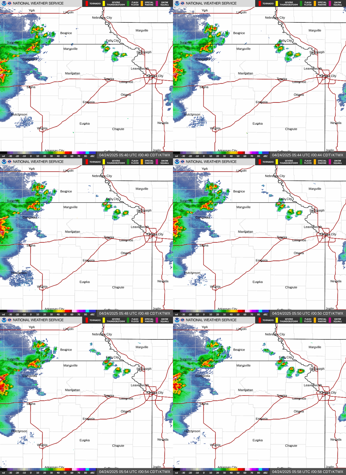
Watch the KTWX weather radar loop for Topeka, Kansas. Pause or step through images in manual mode.
Try the experimental radar map near KTWX. This map combines radar data from multiple sites.
Loading radar imagery…
Left/right arrow keys: older/newer, unless you are using another control. Playback uses all 10 NWS images, 300 ms per frame plus a 1.5 s pause on the newest.
Loading radar imagery…
Check the timestamp printed on the image. Radar images can be 5–10 minutes behind current conditions. Refresh-request age is not observation age. Images are refreshed only when you request it.
Source image: https://radar.weather.gov/ridge/standard/KTWX_loop.gif
The radar image is unavailable. Try refreshing or choose another radar.
Nearby radars to KTWX
Every other catalog site within 200 miles, nearest first. These approximate distances are between radar sites; they are not coverage ranges.
- Kansas City, Missouri (KEAX)107 miles
- Wichita, Kansas (KICT)114 miles
- Hastings, Nebraska (KUEX)149 miles
- Omaha, Nebraska (KOAX)161 miles
- Vance AFB, Oklahoma (KVNX)187 miles
- Springfield, Missouri (KSGF)196 miles
- Tulsa, Oklahoma (KINX)198 miles
About KTWX
KTWX is the ICAO code for the radar cataloged at Topeka, Kansas.
- ICAO station code
- KTWX
- Catalog location
- Topeka
- State / territory
- Kansas
- County / area in catalog
- Wabaunsee
- Latitude
- 38.99694°
- Longitude
- -96.23249°
- Catalog elevation
- 1415 feet (431 meters)
- NCDC identifier
- 30001927
- WBAN identifier
- 03986
Station listings and coordinates come from the NWS radar catalog (downloaded ). County/area names, identifiers, and elevations come from NOAA’s station metadata (downloaded ). These catalog snapshots do not report current radar availability. Catalog elevation includes the ground, tower, and feed horn.
Reading the radar
Check the timestamp printed on the image. A regional view helps you follow the bigger picture; an individual radar gives you a closer look. Their timing and coverage can differ.
Radar imagery comes from the National Weather Service. Use local forecasts and warnings alongside the radar.